The Moon is at day 11
88% illuminated
waxing


|
Northwest Weather Links Fri Apr 19, Sunrise at 6:10 am, Sunset at 8:06 pm |
|
Conditions at Paine Field on Fri Apr 19 at 10:53 PM 57.9 Deg, 26% RH Wind 110 @ 8 mph |
||||||||||||||||||||||||||
|---|---|---|---|---|---|---|---|---|---|---|---|---|---|---|---|---|---|---|---|---|---|---|---|---|---|---|---|---|---|
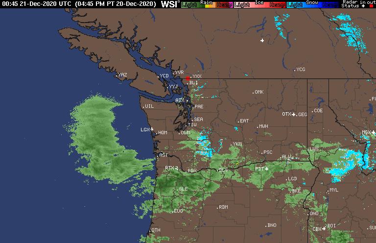
| Loading Images... |
Discussion With Links NOAA's Discussion UW's Discussion
Pressure Plots |
||||||||||||||||||||||||||||
|
|||||||||||||||||||||||||||||
This page created and maintained by
Dave Duperon
Current Server Time:
Fri, 19 Apr 2024 23:21:29 -0700
Timezone is US/Pacific
Some statistics about your browser and connection:
Your IP Address: 3.147.104.248
Your Browser: Mozilla/5.0 AppleWebKit/537.36 (KHTML, like Gecko; compatible; ClaudeBot/1.0; +claudebot@anthropic.com)